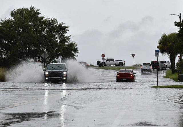
The central and eastern United States are bracing for yet another bout of severe weather as a prolonged stretch of storms continues into Wednesday.
According to the National Weather Service’s Storm Prediction Center, over 20 million people from the Florida Peninsula to the southern Plains and the Carolinas are at risk. Cities in the storm’s path include Amarillo, Texas; Oklahoma City; Orlando; and Charlotte, North Carolina.
Florida, facing the highest risk of tornadoes, “deadly lightning,” and winds up to 55 mph, managed to avoid major damage. A tornado watch for 19 counties, including Tampa and Orlando, expired at 11 a.m. with minimal damage reported, though a severe thunderstorm watch remains until 5 p.m.
The Federal Aviation Administration issued temporary ground stops at Tampa and Orlando International Airports early Wednesday. Flights at Miami and Fort Lauderdale airports experienced delays exceeding an hour.
According to a USA TODAY outage tracker, over 12,000 utility customers in Florida were without power. In Louisiana, where deadly storms earlier in the week caused widespread damage and claimed at least three lives, over 16,000 homes and businesses remain without power.
As Florida’s weather calms Wednesday afternoon, storms are expected to intensify in other regions. Central Oklahoma, southern Kansas, and the Texas Panhandle will see thunderstorms develop and strengthen in the mid-to-late afternoon, with large hail, strong winds, and potential tornadoes posing significant threats. These storms are expected to weaken overnight as they move into eastern Kansas and northeast Oklahoma.
The Carolinas and southern Virginia are also under severe weather advisories, with afternoon storms likely to bring “severe wind and hail,” according to the weather service.
In eastern Ohio and western Pennsylvania, showers are possible but are not expected to be as intense as those in the Plains and Carolinas.
Meanwhile, after a brief respite in eastern Texas, Louisiana, Mississippi, and much of the Gulf Coast region, thunderstorms are forecast to sweep through the Southeast starting Thursday. A new system emerging from the southern Rockies will draw moisture from the Gulf of Mexico, sparking powerful thunderstorms that will spread eastward on Friday and Saturday.
The Southeast has been hit hard by recent rounds of thunderstorms, which have triggered deadly tornadoes and flash floods. The persistent rain has left the soil saturated and waterways high, increasing the flood risk as more rain is expected.


Be First to Comment